
Suba topographic map
Interactive map
Click on the map to display elevation.
About this map
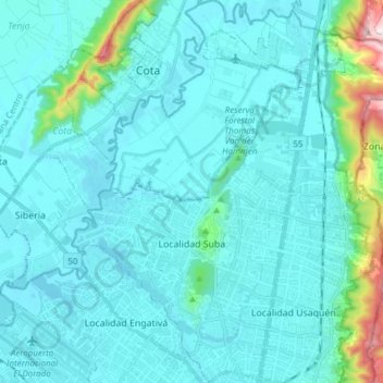
Name: Suba topographic map, elevation, terrain.
Location: Suba, Bogota, Bogota Capital District, Colombia (4.68531 -74.13195 4.83702 -74.03449)
Average elevation: 8,547 ft
Minimum elevation: 8,307 ft
Maximum elevation: 10,551 ft