
Westwood topographic map
Interactive map
Click on the map to display elevation.
About this map
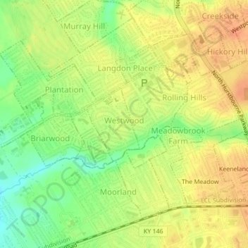
Name: Westwood topographic map, elevation, terrain.
Location: Westwood, Jefferson County, Kentucky, USA (38.27558 -85.58797 38.28370 -85.58058)
Average elevation: 643 ft
Minimum elevation: 564 ft
Maximum elevation: 696 ft