
X-pichil topographic map
Interactive map
Click on the map to display elevation.
About this map
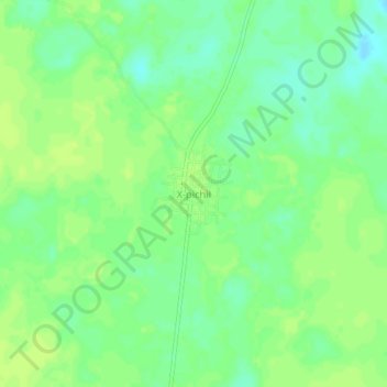
Name: X-pichil topographic map, elevation, terrain.
Location: X-pichil, Felipe Carrillo Puerto, Quintana Roo, México (19.67502 -88.39697 19.71502 -88.35697)
Average elevation: 72 ft
Minimum elevation: 43 ft
Maximum elevation: 89 ft