Geolocate

NU topographic map

Interactive map

Click on the map to display elevation.

About this map

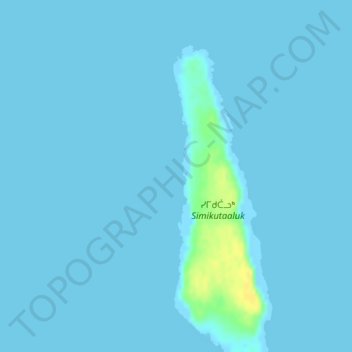
Name: NU topographic map, elevation, terrain.

Location: NU, Canada (56.56228 -79.56944 56.58514 -79.55362)

Average elevation: 3 ft

Minimum elevation: 0 ft

Maximum elevation: 66 ft

Other topographic maps

Click on a map to view its topography, its elevation and its terrain.

North Twin Island

Canada > NU

North Twin Island, NU, Canada

Average elevation: 33 ft

Innetalling Island

Canada > NU

Innetalling Island, NU, Canada

Average elevation: 10 ft

Tukarak Island

Canada > NU

Tukarak Island, NU, Canada

Average elevation: 46 ft

Kugong Island

Canada > NU

Kugong Island, NU, Canada

Average elevation: 16 ft

Mavor Island

Canada > NU

Mavor Island, NU, Canada

Average elevation: 20 ft