
Eastmoor topographic map
Interactive map
Click on the map to display elevation.
About this map
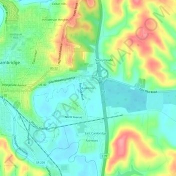
Name: Eastmoor topographic map, elevation, terrain.
Location: Eastmoor, Guernsey County, Ohio, 43725, USA (40.00535 -81.58484 40.04535 -81.54484)
Average elevation: 873 ft
Minimum elevation: 761 ft
Maximum elevation: 1,070 ft