
Lus-la-Croix-Haute topographic map
Interactive map
Click on the map to display elevation.
About this map
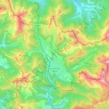
Name: Lus-la-Croix-Haute topographic map, elevation, terrain.
Average elevation: 4,429 ft
Minimum elevation: 2,667 ft
Maximum elevation: 7,825 ft