
L'Hospitalet-du-Larzac topographic map
Interactive map
Click on the map to display elevation.
About this map
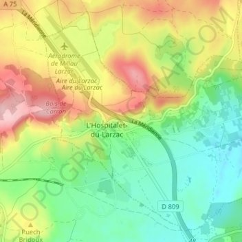
Name: L'Hospitalet-du-Larzac topographic map, elevation, terrain.
Average elevation: 2,546 ft
Minimum elevation: 2,303 ft
Maximum elevation: 2,884 ft