
Wilmore topographic map
Interactive map
Click on the map to display elevation.
About this map
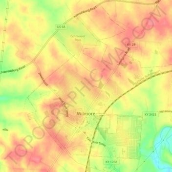
Name: Wilmore topographic map, elevation, terrain.
Location: Wilmore, Jessamine County, Kentucky, 40390, USA (37.85131 -84.67643 37.88869 -84.63626)
Average elevation: 892 ft
Minimum elevation: 732 ft
Maximum elevation: 974 ft