
Lampton topographic map
Interactive map
Click on the map to display elevation.
About this map
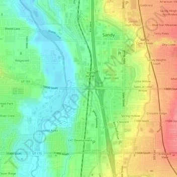
Name: Lampton topographic map, elevation, terrain.
Location: Lampton, Salt Lake County, Utah, 84070, USA (40.53884 -111.92132 40.57884 -111.88132)
Average elevation: 4,409 ft
Minimum elevation: 4,308 ft
Maximum elevation: 4,551 ft