
Mid-City topographic map
Interactive map
Click on the map to display elevation.
About this map
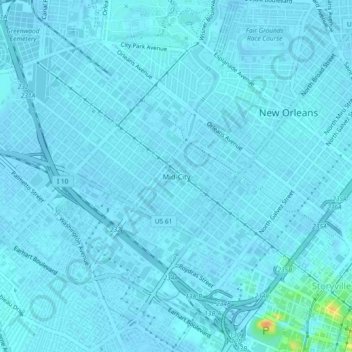
Name: Mid-City topographic map, elevation, terrain.
Average elevation: 7 ft
Minimum elevation: -3 ft
Maximum elevation: 105 ft
Mid-City is located at 29°58′19″N 90°05′49″W / 29.97194°N 90.09694°W / 29.97194; -90.09694 and has an elevation of 0 feet (0.0 m). According to the United States Census Bureau, the district has a total area of 1.66 square miles (4.3 km2), all land.