
Gwanda topographic map
Interactive map
Click on the map to display elevation.
About this map
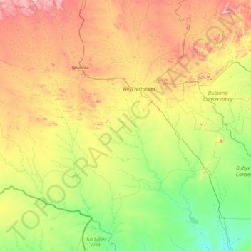
Name: Gwanda topographic map, elevation, terrain.
Location: Gwanda, Matabeleland South, Zimbabwe (-22.00368 28.62694 -20.55259 29.89455)
Average elevation: 2,713 ft
Minimum elevation: 1,634 ft
Maximum elevation: 5,151 ft