
Gemeinde Hardegg topographic map
Interactive map
Click on the map to display elevation.
About this map
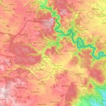
Name: Gemeinde Hardegg topographic map, elevation, terrain.
Location: Gemeinde Hardegg, Bezirk Hollabrunn, Lower Austria, Austria (48.77642 15.73330 48.87756 15.97007)
Average elevation: 1,394 ft
Minimum elevation: 807 ft
Maximum elevation: 1,742 ft