
Swartwater topographic map
Interactive map
Click on the map to display elevation.
About this map
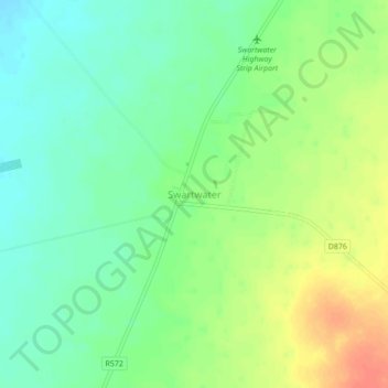
Name: Swartwater topographic map, elevation, terrain.
Location: Swartwater, Limpopo, South Africa (-22.87500 28.18306 -22.83500 28.22306)
Average elevation: 2,703 ft
Minimum elevation: 2,641 ft
Maximum elevation: 2,792 ft