
Chicoloapan topographic map
Interactive map
Click on the map to display elevation.
About this map
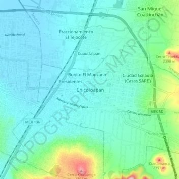
Name: Chicoloapan topographic map, elevation, terrain.
Location: Chicoloapan, Mexico, 56386, Mexico (19.37637 -98.94169 19.45637 -98.86169)
Average elevation: 7,467 ft
Minimum elevation: 7,316 ft
Maximum elevation: 8,166 ft