
Newhall topographic map
Interactive map
Click on the map to display elevation.
About this map
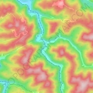
Name: Newhall topographic map, elevation, terrain.
Location: Newhall, McDowell County, West Virginia, 24866, USA (37.24373 -81.63872 37.28373 -81.59872)
Average elevation: 2,044 ft
Minimum elevation: 1,473 ft
Maximum elevation: 2,500 ft