
Laatzen topographic map
Interactive map
Click on the map to display elevation.
About this map
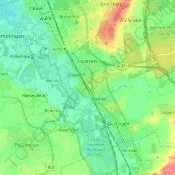
Name: Laatzen topographic map, elevation, terrain.
Location: Laatzen, Region Hannover, Lower Saxony, 30880, Germany (52.26152 9.76338 52.32602 9.91461)
Average elevation: 223 ft
Minimum elevation: 157 ft
Maximum elevation: 374 ft