
Arum topographic map
Interactive map
Click on the map to display elevation.
About this map
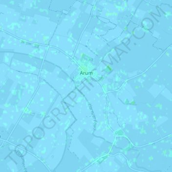
Name: Arum topographic map, elevation, terrain.
Location: Arum, Súdwest-Fryslân, Friesland, Netherlands, The Netherlands (53.10753 5.45782 53.14663 5.51877)
Average elevation: 0 ft
Minimum elevation: -10 ft
Maximum elevation: 10 ft