
Western Heights topographic map
Interactive map
Click on the map to display elevation.
About this map
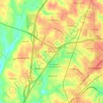
Name: Western Heights topographic map, elevation, terrain.
Location: Western Heights, Davidson County, North Carolina, 27295, USA (35.81042 -80.29422 35.85042 -80.25422)
Average elevation: 758 ft
Minimum elevation: 656 ft
Maximum elevation: 817 ft