
Moore (site) topographic map
Interactive map
Click on the map to display elevation.
About this map
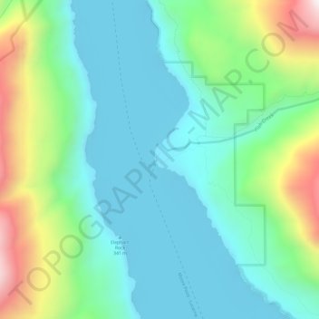
Name: Moore (site) topographic map, elevation, terrain.
Location: Moore (site), Chelan County, Washington, USA (48.21514 -120.63593 48.25514 -120.59593)
Average elevation: 1,880 ft
Minimum elevation: 1,056 ft
Maximum elevation: 4,193 ft