
American Falls topographic map
Interactive map
Click on the map to display elevation.
About this map
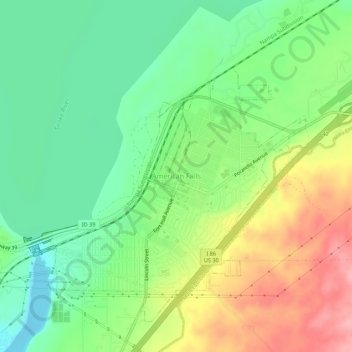
Name: American Falls topographic map, elevation, terrain.
Location: American Falls, Power County, Idaho, 83211, USA (42.76602 -112.87444 42.80602 -112.83444)
Average elevation: 4,413 ft
Minimum elevation: 4,245 ft
Maximum elevation: 4,669 ft