
Telle topographic map
Interactive map
Click on the map to display elevation.
About this map
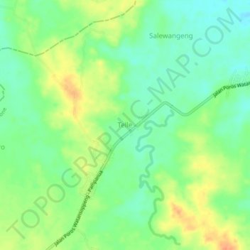
Name: Telle topographic map, elevation, terrain.
Location: Telle, South Sulawesi, Indonesia (-4.28996 120.07290 -4.24996 120.11290)
Average elevation: 128 ft
Minimum elevation: 69 ft
Maximum elevation: 207 ft