
Maitland topographic map
Interactive map
Click on the map to display elevation.
About this map
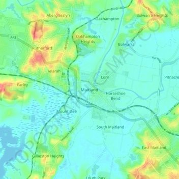
Name: Maitland topographic map, elevation, terrain.
Average elevation: 52 ft
Minimum elevation: -3 ft
Maximum elevation: 220 ft
Other topographic maps
Click on a map to view its topography, its elevation and its terrain.
Bolwarra
Australia > New South Wales > Maitland
Bolwarra, Maitland, Newcastle-Maitland, Maitland City Council, New South Wales, 2320, Australia
Average elevation: 39 ft