
सांगली topographic map
Interactive map
Click on the map to display elevation.
About this map
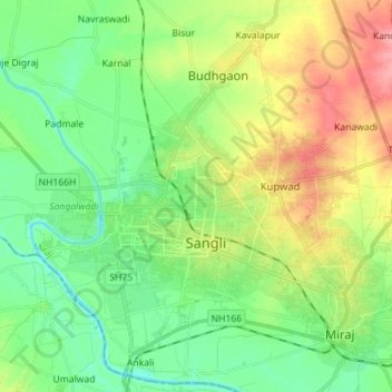
Name: सांगली topographic map, elevation, terrain.
Location: सांगली, Sangli, Sangli district, Maharashtra, India (16.80553 74.54636 16.92679 74.68755)
Average elevation: 1,834 ft
Minimum elevation: 1,729 ft
Maximum elevation: 2,018 ft