
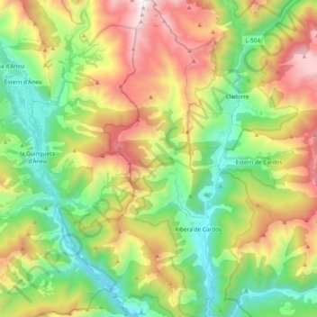
Vall de Cardós topographic map
Interactive map
Click on the map to display elevation.
About this map
Name: Vall de Cardós topographic map, elevation, terrain.
Location: Vall de Cardós, Pallars Sobirà, Lleida, Catalonia, 25571, Spain (42.52515 1.17806 42.66265 1.27129)
Average elevation: 5,049 ft
Minimum elevation: 2,782 ft
Maximum elevation: 8,629 ft