
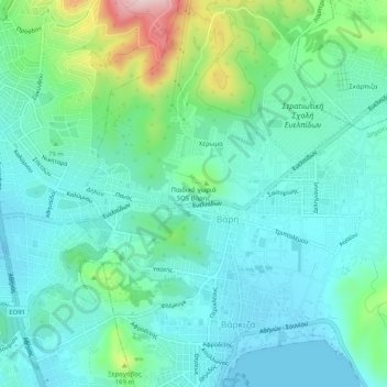
SOS Children's Village Vari topographic map
Interactive map
Click on the map to display elevation.
About this map
Name: SOS Children's Village Vari topographic map, elevation, terrain.
Average elevation: 226 ft
Minimum elevation: -39 ft
Maximum elevation: 1,014 ft