Vilar da Veiga topographic map
Interactive map
Click on the map to display elevation.
About this map
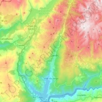
Name: Vilar da Veiga topographic map, elevation, terrain.
Average elevation: 2,300 ft
Minimum elevation: 479 ft
Maximum elevation: 4,672 ft

Click on the map to display elevation.
Name: Vilar da Veiga topographic map, elevation, terrain.
Average elevation: 2,300 ft
Minimum elevation: 479 ft
Maximum elevation: 4,672 ft