
Reggiolo topographic map
Interactive map
Click on the map to display elevation.
About this map
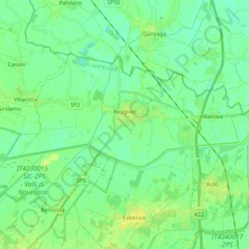
Name: Reggiolo topographic map, elevation, terrain.
Location: Reggiolo, Bassa Reggiana, RE, Emilia-Romagna, 42046, Italy (44.88152 10.72361 44.94405 10.87719)
Average elevation: 62 ft
Minimum elevation: 43 ft
Maximum elevation: 85 ft