
Pacakan topographic map
Interactive map
Click on the map to display elevation.
About this map
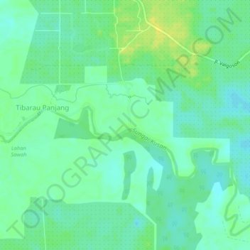
Name: Pacakan topographic map, elevation, terrain.
Location: Pacakan, South Kalimantan, Indonesia (-3.45911 115.71639 -3.41911 115.75639)
Average elevation: 33 ft
Minimum elevation: 7 ft
Maximum elevation: 72 ft