
Arvière-en-Valromey topographic map
Interactive map
Click on the map to display elevation.
About this map
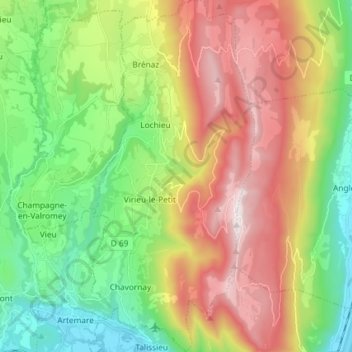
Name: Arvière-en-Valromey topographic map, elevation, terrain.
Average elevation: 2,507 ft
Minimum elevation: 768 ft
Maximum elevation: 4,990 ft