
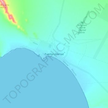
Puerto Libertad topographic map
Interactive map
Click on the map to display elevation.
About this map
Name: Puerto Libertad topographic map, elevation, terrain.
Location: Puerto Libertad, Pitiquito, Sonora, México (29.86628 -112.72151 29.94628 -112.64151)
Average elevation: 92 ft
Minimum elevation: -3 ft
Maximum elevation: 1,010 ft