
Deansrath topographic map
Interactive map
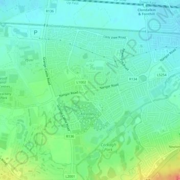
Click on the map to display elevation.
About this map
Name: Deansrath topographic map, elevation, terrain.
Average elevation: 233 ft
Minimum elevation: 180 ft
Maximum elevation: 361 ft
Other topographic maps
Click on a map to view its topography, its elevation and its terrain.
Grange Castle Business Park
Grange Castle Business Park, Clondalkin-Dunawley ED, Dublin 22, South Dublin, County Dublin, Leinster, D22 XR57, Ireland
Average elevation: 233 ft