
An Narjas topographic map
Interactive map
Click on the map to display elevation.
About this map
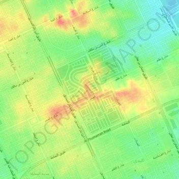
Name: An Narjas topographic map, elevation, terrain.
Location: An Narjas, Riyadh Region, 7069, Saudi Arabia (24.80167 46.65056 24.84167 46.69056)
Average elevation: 2,182 ft
Minimum elevation: 2,096 ft
Maximum elevation: 2,264 ft
Other topographic maps
Click on a map to view its topography, its elevation and its terrain.
Al Yasmin District
Al Yasmin District, Municipality of Al Shamal, An Narjas, Riyadh Region, Saudi Arabia
Average elevation: 2,169 ft