
Matjhabeng Local Municipality topographic map
Interactive map
Click on the map to display elevation.
About this map
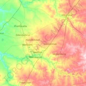
Name: Matjhabeng Local Municipality topographic map, elevation, terrain.
Average elevation: 4,514 ft
Minimum elevation: 4,124 ft
Maximum elevation: 5,180 ft