
Alfalfa topographic map
Interactive map
Click on the map to display elevation.
About this map
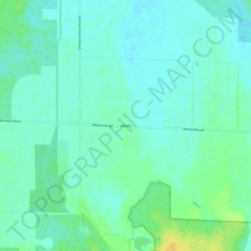
Name: Alfalfa topographic map, elevation, terrain.
Location: Alfalfa, Deschutes County, Oregon, USA (44.05733 -121.03698 44.09733 -120.99698)
Average elevation: 3,363 ft
Minimum elevation: 3,340 ft
Maximum elevation: 3,422 ft
Other topographic maps
Click on a map to view its topography, its elevation and its terrain.
Oregon Badlands Wilderness
Oregon Badlands Wilderness, Tumulus Trail, Alfalfa, Deschutes County, Oregon, USA
Average elevation: 3,599 ft