
Nagarparkar topographic map
Interactive map
Click on the map to display elevation.
About this map
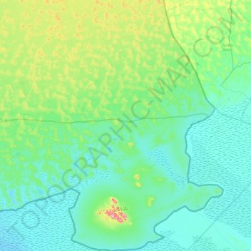
Name: Nagarparkar topographic map, elevation, terrain.
Location: Nagarparkar, Tharparkar District, Sindh, 69260, Pakistan (24.21571 70.54807 24.92553 71.12577)
Average elevation: 141 ft
Minimum elevation: 0 ft
Maximum elevation: 1,083 ft