
Tern Island topographic map
Interactive map
Click on the map to display elevation.
About this map
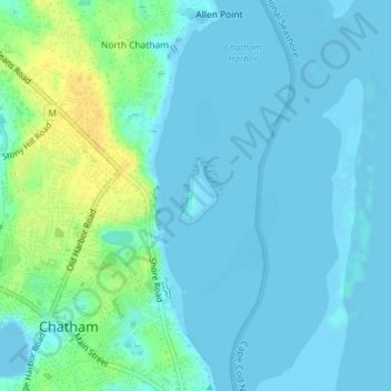
Name: Tern Island topographic map, elevation, terrain.
Location: Tern Island, Chatham, Barnstable County, Massachusetts, USA (41.68921 -69.94949 41.69286 -69.94549)
Average elevation: 20 ft
Minimum elevation: -13 ft
Maximum elevation: 82 ft