
Frank Lloyd Wright’s Martin House Complex topographic map
Interactive map
Click on the map to display elevation.
About this map
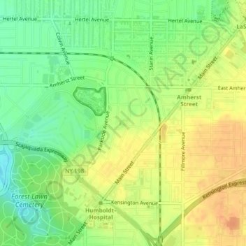
Name: Frank Lloyd Wright’s Martin House Complex topographic map, elevation, terrain.
Average elevation: 643 ft
Minimum elevation: 577 ft
Maximum elevation: 699 ft
Other topographic maps
Click on a map to view its topography, its elevation and its terrain.
Theodore Roosevelt Inaugural National Historic Site
Theodore Roosevelt Inaugural National Historic Site, Allentown, Buffalo, Erie County, New York, USA
Average elevation: 646 ft