
Newcastle topographic map
Interactive map
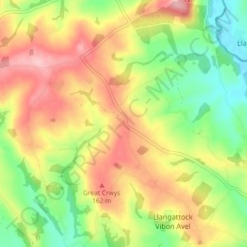
Click on the map to display elevation.
About this map
Name: Newcastle topographic map, elevation, terrain.
Location: Newcastle, Monmouthshire, Wales, NP25 5NT, United Kingdom (51.83195 -2.82331 51.87195 -2.78331)
Average elevation: 361 ft
Minimum elevation: 108 ft
Maximum elevation: 627 ft