
Old Jefferson topographic map
Interactive map
Click on the map to display elevation.
About this map
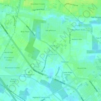
Name: Old Jefferson topographic map, elevation, terrain.
Location: Old Jefferson, East Baton Rouge Parish, Louisiana, USA (30.35542 -91.03570 30.39249 -90.98524)
Average elevation: 30 ft
Minimum elevation: 13 ft
Maximum elevation: 52 ft