
Târgoviște topographic map
Interactive map
Click on the map to display elevation.
About this map
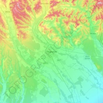
Name: Târgoviște topographic map, elevation, terrain.
Location: Târgoviște, Dâmbovița, 130016, Romania (44.76677 25.30282 45.08677 25.62282)
Average elevation: 1,040 ft
Minimum elevation: 574 ft
Maximum elevation: 2,326 ft