Lac de l'Hongrin topographic map
Interactive map
Click on the map to display elevation.
About this map
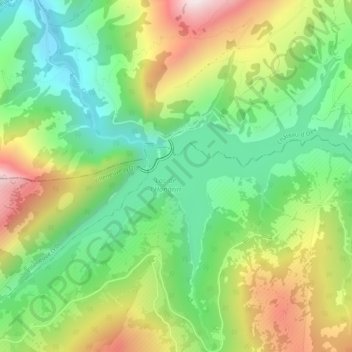
Name: Lac de l'Hongrin topographic map, elevation, terrain.
Average elevation: 4,544 ft
Minimum elevation: 3,533 ft
Maximum elevation: 6,112 ft

Click on the map to display elevation.
Name: Lac de l'Hongrin topographic map, elevation, terrain.
Average elevation: 4,544 ft
Minimum elevation: 3,533 ft
Maximum elevation: 6,112 ft