
Kabalar topographic map
Interactive map
Click on the map to display elevation.
About this map
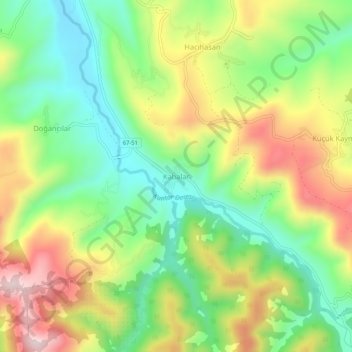
Name: Kabalar topographic map, elevation, terrain.
Location: Kabalar, Alaplı, Zonguldak, Black Sea Region, Turkey (41.07474 31.39202 41.11474 31.43202)
Average elevation: 702 ft
Minimum elevation: 138 ft
Maximum elevation: 1,480 ft