
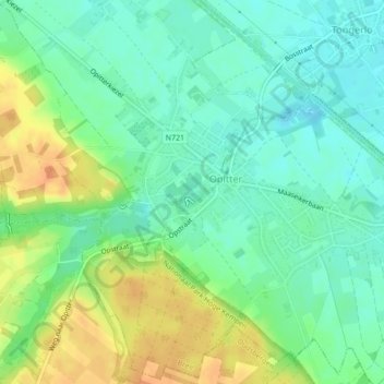
Itterbeek topographic map
Interactive map
Click on the map to display elevation.
About this map
Name: Itterbeek topographic map, elevation, terrain.
Location: Itterbeek, Bree, Maaseik, Limburg, Vlaanderen, 3960, België (51.11495 5.63834 51.11746 5.64547)
Average elevation: 164 ft
Minimum elevation: 115 ft
Maximum elevation: 243 ft