
Laurel Ridge topographic map
Interactive map
Click on the map to display elevation.
About this map
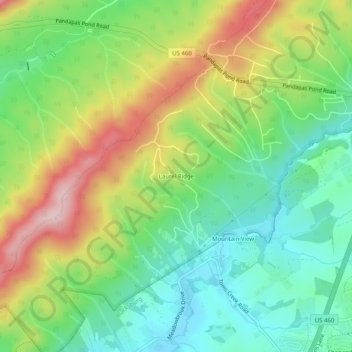
Name: Laurel Ridge topographic map, elevation, terrain.
Location: Laurel Ridge, Montgomery County, Virginia, 24060, USA (37.24846 -80.46839 37.28846 -80.42839)
Average elevation: 2,267 ft
Minimum elevation: 1,916 ft
Maximum elevation: 2,822 ft