
San Antonio La Isla topographic map
Interactive map
Click on the map to display elevation.
About this map
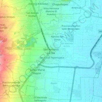
Name: San Antonio La Isla topographic map, elevation, terrain.
Location: San Antonio La Isla, San Antonio la Isla, 52250, México (19.12422 -99.60978 19.20422 -99.52978)
Average elevation: 8,524 ft
Minimum elevation: 8,428 ft
Maximum elevation: 8,832 ft