
Streymoy topographic map
Interactive map
Click on the map to display elevation.
About this map
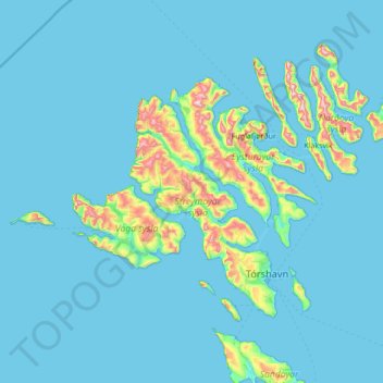
Name: Streymoy topographic map, elevation, terrain.
Location: Streymoy, Stykkið, Streymoy region, 330, Faroe Islands (61.82782 -7.35643 62.46782 -6.71643)
Average elevation: 197 ft
Minimum elevation: -13 ft
Maximum elevation: 2,792 ft