
Kaithal topographic map
Interactive map
Click on the map to display elevation.
About this map
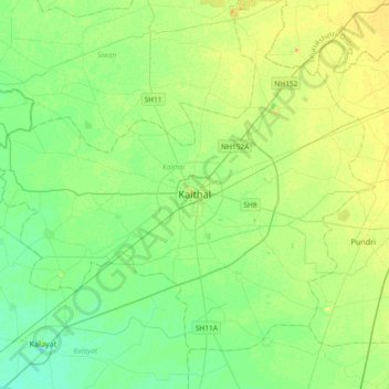
Name: Kaithal topographic map, elevation, terrain.
Location: Kaithal, Sangrūr, Kaithal, Haryana, 132027, India (29.63966 76.23899 29.95966 76.55899)
Average elevation: 781 ft
Minimum elevation: 748 ft
Maximum elevation: 827 ft