
Grosbous topographic map
Interactive map
Click on the map to display elevation.
About this map
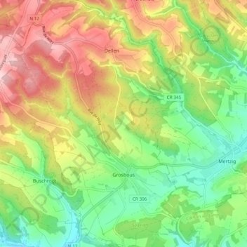
Name: Grosbous topographic map, elevation, terrain.
Location: Grosbous, Canton Redange, Luxembourg (49.80962 5.91500 49.87069 5.98731)
Average elevation: 1,302 ft
Minimum elevation: 965 ft
Maximum elevation: 1,742 ft