
Upper Klamath Lake topographic map
Interactive map
Click on the map to display elevation.
About this map
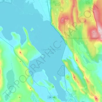
Name: Upper Klamath Lake topographic map, elevation, terrain.
Average elevation: 4,603 ft
Minimum elevation: 4,117 ft
Maximum elevation: 7,008 ft