
Miquelon topographic map
Interactive map
Click on the map to display elevation.
About this map
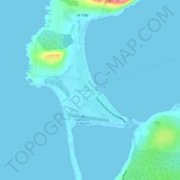
Name: Miquelon topographic map, elevation, terrain.
Location: Miquelon, Saint-Pierre-et-Miquelon, 97500, France (47.08175 -56.39991 47.12175 -56.35991)
Average elevation: 20 ft
Minimum elevation: -7 ft
Maximum elevation: 338 ft